Offline map
Prepare the map for the field
Build a `.tairudb` with imagery, vectors, contour lines, a reference grid and elevation for Tairu Maps with no internet.
QGIS plugin
TairuDB turns what you prepare in QGIS into an offline map for the team and brings the records made in the field back to your project.
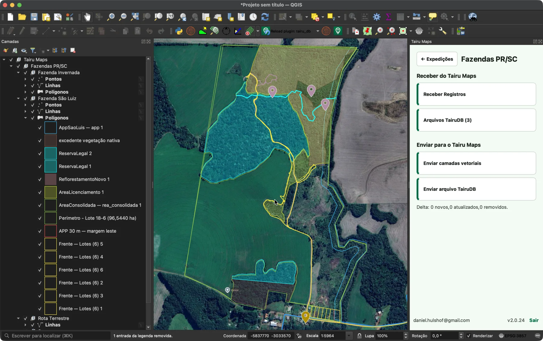
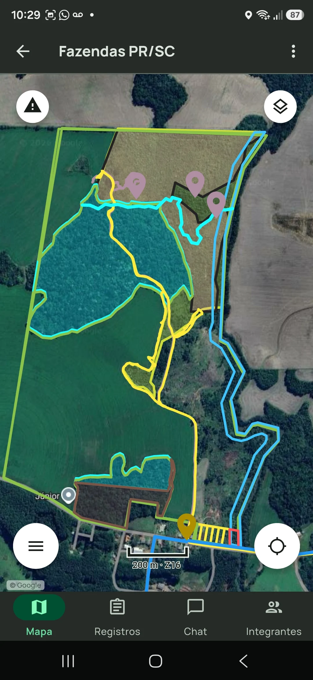 Field ↔ QGIS
* Features that require a paid plan: Online or Realtime.
What the plugin does
Offline generation works without signing in. Synchronisation connects the QGIS project to the expedition records.
Offline map
Build a `.tairudb` with imagery, vectors, contour lines, a reference grid and elevation for Tairu Maps with no internet.
Synchronisation*
Pull records as editable GeoPackage layers and push your features back as editable expedition records.
Automation
Run the same engine through the wizard, Processing, or the GeoPDF converter when the workflow needs a command line.
Which route should you use?
| When you need to… | TairuDB provides | In Tairu Maps |
|---|---|---|
| Take orthophotos, boundaries and terrain to a phone | A local `.tairudb`, with a size and time estimate before generation. | An offline map and read-only vectors. |
| Follow what was recorded in the field* | `Receber Registros` organises editable layers in the expedition GeoPackage. | The same records, with groups and identity retained. |
| Publish features the team can edit* | `Enviar camadas vetoriais` previews additions, updates and deletions. | Editable records in the `Registros` tab. |
| Repeat or automate an output | The `Tairu > TairuDB` Processing algorithm or GeoPDF converter. | A `.tairudb` file ready to import or share. |
* Features that require a paid plan: Online or Realtime.
Project synchronisation*
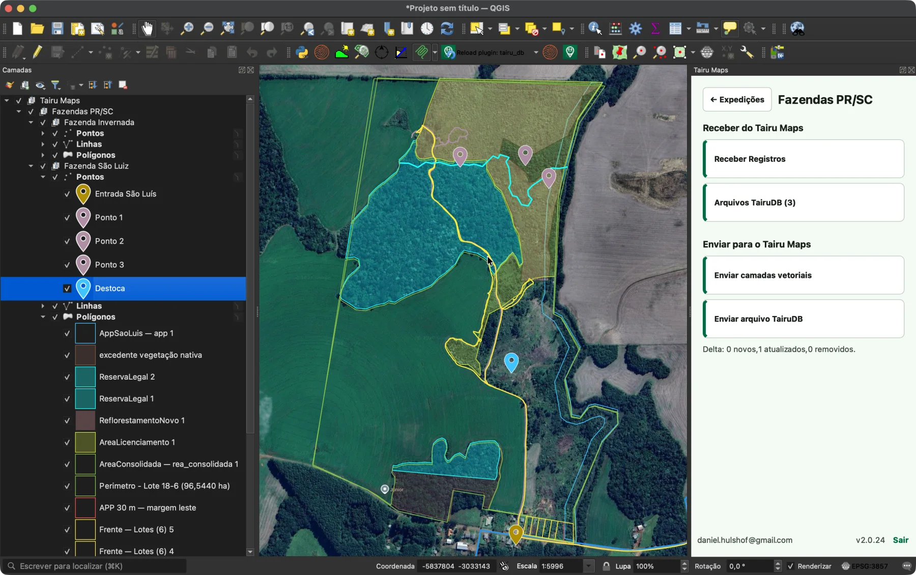
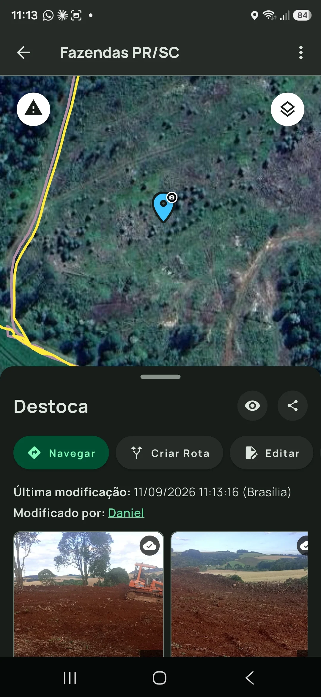
* Feature that requires a paid plan: Online or Realtime.
Before you install
The local wizard and Processing need no sign-in. Sign-in, expeditions, uploads and downloads require an Online or Realtime plan.
Vector layers in a `.tairudb` are not edited in the app, but chosen features can be incorporated as records, up to 500 at a time. Use layer push when the team needs to edit the whole layer in the field.
It is included only when selected in `Parâmetros`; generation downloads tiles and the estimate shows how many first.
Save the QGIS project after pushing. For persistent identity, extract the ZIP or convert the layer to GeoPackage.
The converter requires GDAL, pyproj and QGIS Python bindings; the input file needs usable spatial referencing.
Panel and button names remain in Portuguese even when QGIS uses another language.
Next step
Install TairuDB from the official repository. Code, issues and suggestions are open on GitHub.